
Gusty winds blew spring weather across Texas in March, but April and May could bring severe weather, according to Tom Bradshaw, a meteorologist with the National Weather Service (NWS) in Fort Worth.
“Wind was the big story during the month of March. That contributed to some breakout of wildfires across the central and western parts of the state. It was also a very dry month with precipitation values well below 50 percent of normal across most of Central, South and West Texas. Really, the Panhandle is the only part of the state that had any kind of appreciable precipitation last month,” Bradshaw said in an interview with the Texas Farm Bureau Radio Network. “But when we look at the severe weather climatology for the state of Texas, the two months that really stand out are April and May.”
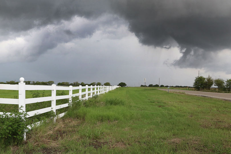
Being prepared for severe weather is important in this volatile time from mid- to late spring.
Bradshaw noted from mid-April through the end of May, Texas often sees an increased frequency of strong frontal passages with supercell thunderstorms forming ahead of the fronts. Dry line activity can form and contribute to the development of large hail and damaging winds. And it also creates potential for tornadoes and flash flooding.
Texans should have a severe weather safety plan in place and be ready to act when there are alerts about severe thunderstorms, tornadoes and flash flood watches or warnings in their area, he said.
A weather watch may be issued hours before a storm develops and indicates conditions are favorable for severe thunderstorms or tornadoes. Bradshaw recommends residents continue to monitor the situation and check weather information frequently for updates or changes.
A warning precedes an actual weather event. When a tornado warning is issued, it contains information that lists the cities and towns in the path of a tornado.
Because of the way radars work, however, NWS information says times and locations may be off by minutes or miles, and storms can move unpredictably. So, a warning in one area does not mean residents in nearby locations should drop their guard.
As part of “spring cleaning,” emergency safety plans should be reviewed, and preparedness kits should be inspected.
“Folks need to have their severe weather safety plan dusted off, and they need to be ready to do what they need to do when they receive information about severe thunderstorm or tornado watches or certainly tornadoes or thunderstorm or flash flood warnings for their area,” Bradshaw said.
Meanwhile, the Texas drought monitor still shows extreme drought and exceptional drought in West Texas, Far West Texas and South Texas.
As of March 30, 89 percent of the state was in some stage of drought, according to the United States Drought Monitor. Bradshaw said he hopes traditional April showers will break some of those drought patterns.
“Climatologically, April tends to be a little wetter month for the state of Texas. We are hoping that we’ll see more fronts coming down into the state and forming showers and thunderstorms across the area. But the long-term forecast continues to show below-normal rainfall potential for the state,” he said. “Unfortunately, temperatures are going to be above normal. According to the outlook, once we get into April, you start seeing a lot of 80s and even 90s start creeping into the picture across most of the state toward the end of the month.”
NWS has information on severe weather safety and survival, including steps to take when a watch or warning is issued.
For more information on building an emergency preparedness kit and to learn more about wireless emergency alerts, visit ready.gov.